
Tarkwa Concession GC/GL/2024-1187 Pioneering Earthworks & Mine Infrastructure
Full-scope concession boundary verification via RTK-GNSS and UAV photogrammetry, 380,000 m³ overburden stripping, bench stabilization, and construction of 14.5 km of all-weather haul roads under License Area GC/GL/2024-1187.
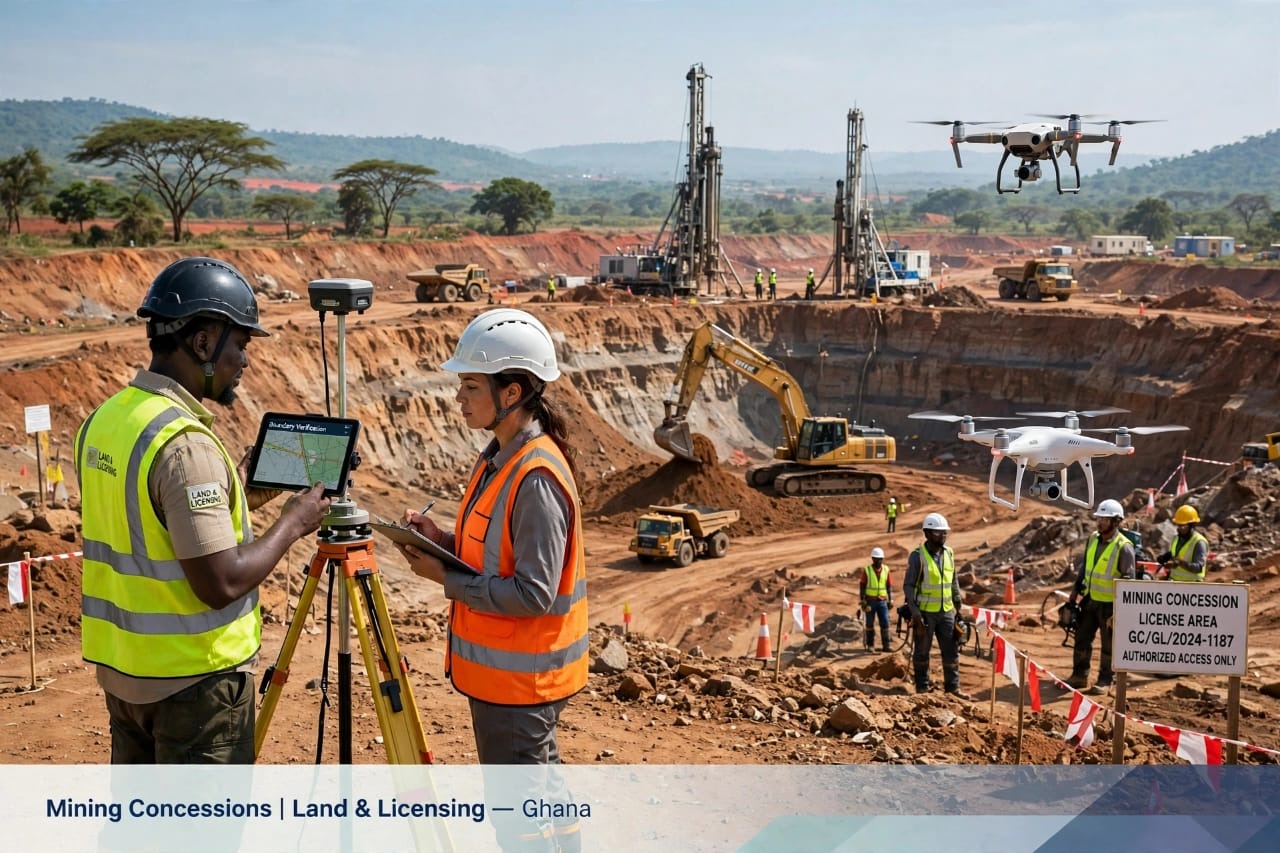
Project Mandate & Operational Context
Assigned under Minerals Commission License Area GC/GL/2024-1187 in Ghana’s Western Region, Global World Mining and Construction Limited was contracted to transition a greenfield Birimian gold concession from exploration permitting into full production readiness. The site presented steep lateritic ridges, high seasonal water tables, and fragmented access tracks incapable of supporting 40-ton articulated dump trucks and RC/diamond drilling rigs.
Our mandate encompassed four integrated workstreams: statutory boundary verification and high-resolution digital terrain modeling (DTM), pioneering bulk earthworks and open-pit bench preparation, heavy-duty haulage road construction, and turnkey civil foundations for the site administration and assay camp.
Geomatics, Boundary Verification & Drone Survey
Prior to mobilizing heavy earthmoving plant, GWMC’s Geomatics & Licensing team established a primary geodetic control network across the 42.8 km² concession perimeter:
- RTK-GNSS Pillar Monumentation: Installed 28 concrete survey pillars tied to the Ghana National Grid with sub-centimeter horizontal and vertical accuracy, ensuring zero encroachment onto adjacent community buffer zones.
- Enterprise UAV Photogrammetry: Conducted automated multi-flight drone surveys to generate 3 cm/pixel orthomosaics and volumetric cut-and-fill models, reducing initial earthwork estimating variance to less than 1.8%.
- Statutory Compliance: Coordinated perimeter demarcation signage, security access gates, and EPA buffer-zone flagging in strict accordance with LI 2182 health, safety, and environmental regulations.
Heavy Earthworks & All-Weather Haulage Corridor
To maintain uninterrupted ore and waste haulage during the Western Region’s bimodal rainy seasons, our civil engineering crew engineered and constructed 14.5 km of dual-lane haul roads rated for 100-ton gross vehicle weight:
- Subgrade Stripping & Stabilization: Removed 450 mm of organic topsoil (stockpiled in designated berms for progressive mine reclamation) and mechanically stabilized weak clay pockets using crushed quartzitic waste rock.
- Crowned Laterite Wearing Course: Placed and compacted 350 mm of high-CBR lateritic gravel in two lifts to 98% Modified AASHTO density, finished with a 4% cross-fall to shed tropical storm runoff rapidly.
- Hydraulic Cross-Drainage: Constructed 18 reinforced concrete box and pipe culverts with rip-rap energy dissipaters and trapezoidal perimeter interceptor drains discharging into three staged sediment settling ponds.
Execution Outcome
All primary pit access ramps, drill pads, and ROM pad earthworks were handed over 11 days ahead of the baseline programme, achieving 412,000 man-hours with zero Lost-Time Injuries (LTI) and zero environmental non-conformances.
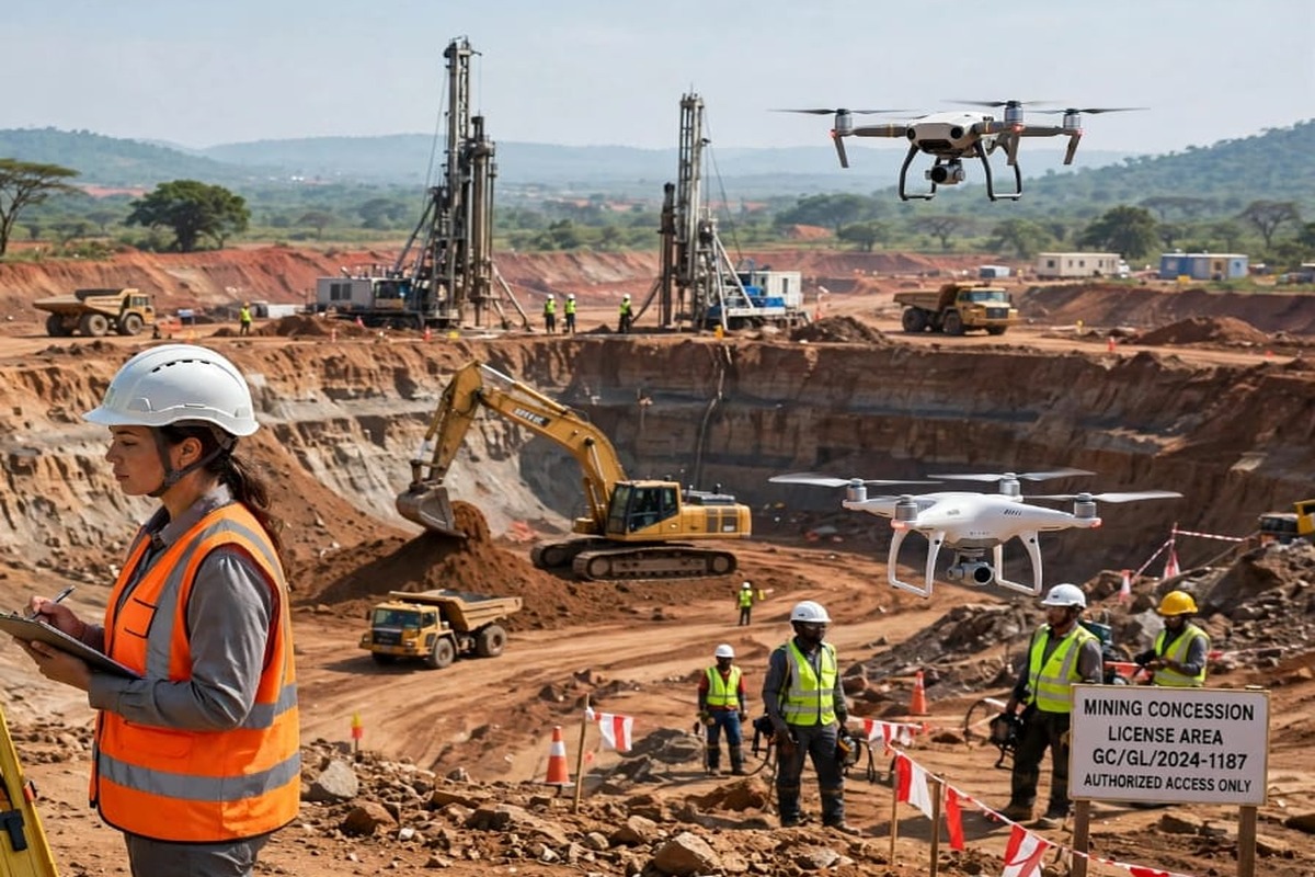
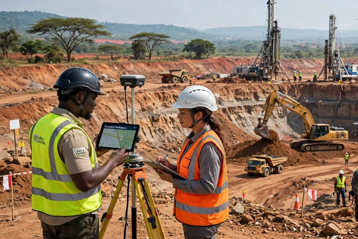
Additional Field Documentation
Other Engineering Case Studies
All Projects →Airport City Annex Multi-Story Commercial Frame & Structural Podium
Structural reinforced concrete construction of a 7-story twin-core commercial office and retail complex in Accra, featuring C40/50 high-strength columns, post-tensioned flat slabs, full MEP risers, and architectural POP ceiling fit-outs.
Western Corridor 100-Ton Mine Haulage Road & Reinforced Box Culvert Package
Engineering and construction of 9.2 km of heavy-duty industrial mine connector road, 6 multi-cell reinforced concrete box culverts across perennial streams, and gabion slope protection structures.